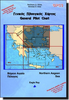
Gpc3 Greece Pilot Chart Northern Aegean Sea carte marine Eagle Ray

30,00 

Acheter maintenant
SKU: GPC3
Marque :

Détails Produit

Un bon compromis pour préparer sa croisière :

  • Une carte marine au 1 / 515 000ème
  • un tableau de prévisions météo suivant les infos de baromètre et thermomètre.
  • un tableau de 180 waypoints
  • infos de vents et courants

Informations en Grecque et Anglais
Format Plié : 17×24.5cm
Format ouvert : 100x70cm
Papier imperméable

Retour en haut de page
23
    23
    Votre Panier
    Admiralty GB4904 Dronning Maud Land
    Admiralty GB4904 Dronning Maud Land
    1 X 58,00  = 58,00 
    Shom 6684L Golfe et port de Fos
    Shom 6684L Golfe et port de Fos
    1 X 37,05  = 37,05 
    Tamata et l'Alliance de Bernard Moitessier
    Tamata et l'Alliance de Bernard Moitessier
    1 X 25,64  = 25,64 
    IMRAY_M17 North Tuscan Islands to Rome
    IMRAY_M17 North Tuscan Islands to Rome
    1 X 31,50  = 31,50 
    Shom 7486 Canal du Mozambique - Partie Nord
    Shom 7486 Canal du Mozambique - Partie Nord
    1 X 37,05  = 37,05 
    NV Atlas France9 - de Cabo Creus à Toulon
    NV Atlas France9 - de Cabo Creus à Toulon
    1 X 64,99  = 64,99 
    Texte indicatif
    KART 322 Fugløybanken – Lopphavet
    1 X 48,00  = 48,00 
    Shom 7033L De Quiberon au Croisic
    Shom 7033L De Quiberon au Croisic
    1 X 37,05  = 37,05 
    Cap Utopia, de Jean-François Diné
    Cap Utopia, de Jean-François Diné
    1 X 20,00  = 20,00 
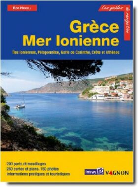
    Guide Imray Grèce Mer Ionienne
    Guide Imray Grèce Mer Ionienne
    1 X 65,10  = 65,10 
    Le produit a été ajouté à votre panier