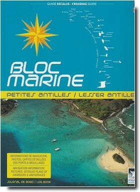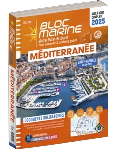
Détails Produit
COASTLINES OF FRANCE
English Channel, North Sea, Atlantic sea, Mediteranean Sea
In the French Harbours edition, you will find all the information needed to navigate safely on the French coast. This new Bloc Marine consists of : the basics for navigation, international rules for preventing collisions at sea, weather information and major ocean currents on the French coast, a navigation atlas, and of course accurate information on each port of the French coast. Thanks to its content, it satisfies the requirement to take nautical documents aboard and becomes an essential tool for all boaters who navigate on the French coast.
Sommaire:
- International Signals Code
- Port Traffic Signals
- I.A.L.A. buoyage
- beach buoyage
- Steering and sailing rules
- Night and day shapes
- National Flags
- Restricted Visibility – Distress signals
- Chart symbols
- Measurement and conversion charts
Habours Content
- Atlantic Harbours
- River navigation
- North
- Normandy
- Channel Islands
- North Brittany
- South Brittany
- Loire
- Charente-Maritime
- Aquitaine
- Mediterranean Harbours
- Pyrennes-Orientales
- Aude
- Hérault
- Gard
- Bouche du rhône
- Var
- Alpes-Maritimes
- corsica
Ouvrage en Anglais
Dimensions: 22.5 x 29 cm
pages : 572
Produits similaires