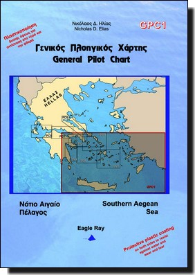
South Aegean Sea General Pilot Chart Eagle Ray GPC1

30,00 

Acheter maintenant
SKU: GPC1
Marque :

Détails Produit

Un bon compromis pour préparer sa croisière :

  • Une carte marine au 1 / 553 000ème
  • un tableau de prévisions météo suivant les infos de baromètre et thermomètre.
  • infos de vents et courants

Informations en Grecque et Anglais
Format Plié : 17×24.5cm
Format ouvert : 100x70cm
Papier imperméable

Retour en haut de page
26
    26
    Votre Panier
    Texte indicatif
    IMRAY_M14 Barcelona to Bouches du Rhône
    1 X 31,50  = 31,50 
    Texte indicatif
    KART 308 Florø – Smøla
    1 X 48,00  = 48,00 
    Shom 5339 De Majunga à Nossi-Bé
    Shom 5339 De Majunga à Nossi-Bé
    1 X 37,05  = 37,05 
    NV.Atlas Italie IT 4 - Sardaigne Ouest
    NV.Atlas Italie IT 4 - Sardaigne Ouest
    1 X 64,99  = 64,99 
    IMRAY_M8 North Sardegna
    IMRAY_M8 North Sardegna
    1 X 31,50  = 31,50 
    Shom 4912 Baie de Baly
    Shom 4912 Baie de Baly
    1 X 37,05  = 37,05 
    Texte indicatif
    KART 324 Fra Nordkapp til Kjølnes
    1 X 48,00  = 48,00 
    NV.Atlas Croatia HR 1 - Trieste to Vodice
    NV.Atlas Croatia HR 1 - Trieste to Vodice
    1 X 64,99  = 64,99 
    Pack Permis Hauturier N° 1
    Pack Permis Hauturier N° 1
    1 X 85,00  = 85,00 
    Shom 7654L De Isla Canela à cabo Trafalgar
    Shom 7654L De Isla Canela à cabo Trafalgar
    1 X 37,05  = 37,05 
    Shom 7205L Golfe de La Napoule - Golfe Juan
    Shom 7205L Golfe de La Napoule - Golfe Juan
    1 X 37,05  = 37,05 
    FEUX ET MARQUES DES NAVIRES
    FEUX ET MARQUES DES NAVIRES
    1 X 5,00  = 5,00 
    Shom 7258L Abords de Calais
    Shom 7258L Abords de Calais
    1 X 37,05  = 37,05 
    Le produit a été ajouté à votre panier